Friday, Feb. 19, 2021 4 P.M.
Warming
I have found it interesting over the years how February almost always has a period of a week to 10 days of very wintry weather. Otherwise, it’s just the usual grey skies and gloomy scenery. Well, we just experienced our “mini-winter” and now a warm up will have us thinking of an early spring for the rest of the month.
Tomorrow will have a cold start – about 13-15 degrees – then warm to the mid 30’s. Then about 10 degrees warmer Sunday. Then a few days in the 50’s (possibly 60’s) next week.
Meanwhile, Tuesday’s storm dropped a sleet/snow accumulation of 4″ at the airport. Then Wednesday night’s snowfall of 2.9″ pushed the accumulation up to 5″ at SDF. NOTE: Snowfall and snow accumulation are not the same. Tuesday night’s snowfall was listed as 5.5″ but the sleet/freezing rain knocked the accumulation down to 4″. Due to some melting and settling, the later snowfall “refreshed” the old snow/ice and boosted accumulation back up to 5″.
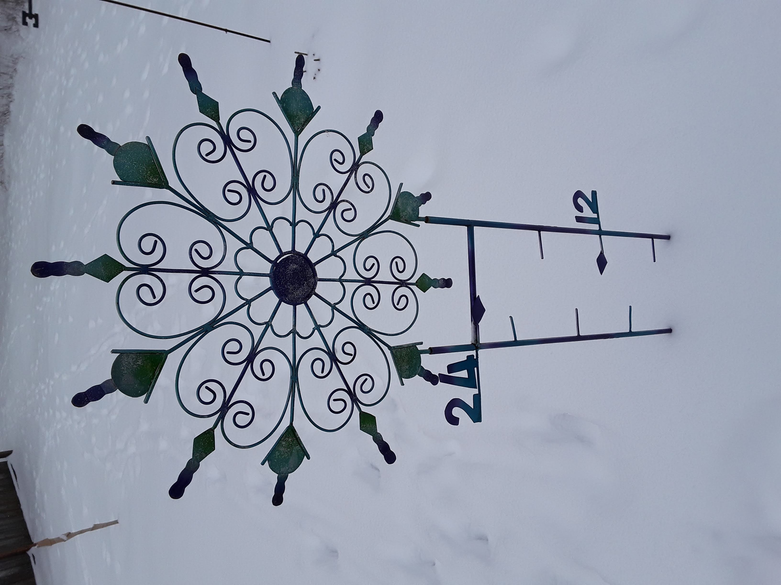
Snow gauge update
I’ve been showing pictures off my very optimistic snow gauge this week. You can go back to see them, if you wish. The first showed just a trace of snow/ice before the expected snowstorm Monday night. The second photo was from Tuesday morning. It showed just under 3″. You can see the 3″ marker line on the left side of the gauge. Today’s photo is from yesterday morning. About 5″ inches on the ground.